Cape Henlopen: choose the bay-side question or the ocean-side question
Cape Henlopen can become an unnecessarily complicated day when every shoreline feature is treated as one continuous beach stop. Start by deciding what you want to notice: a bay-edge landscape, an ocean outlook or the relationship between them. The answer gives a short visit a useful shape.
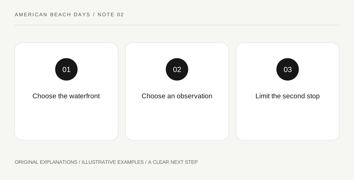
Original explanatory diagram. Read the full method and limitations below.
Use the two waterfronts as a map key
Delaware’s environmental department describes Cape Henlopen’s Atlantic and Delaware Bay settings and distinguishes the Seaside Nature Trail from the Gordons Pond Trail. Use those names to understand the landscape before selecting a route. Do not take a distant trail label as evidence that it begins beside your chosen beach access. Mark the exact public starting point and the end of the intended outing. A park-wide name is a region, not a complete walking instruction.
Ask one observation question
For a bay-focused visit, you might compare the shoreline’s shape with the view on the map. For an ocean-oriented visit, you might look at how the beach, dunes and inland water are separated. These are examples of things to notice from permitted places, not instructions to enter protected habitat. One question gives companions something to discuss without requiring a long walk or specialist equipment. It also makes a quiet shore visit feel purposeful when swimming is not part of the day.
Avoid the automatic second crossing
Once the main activity is chosen, price the second waterfront in effort rather than attraction count. Consider packing the car, finding another legal parking place and adjusting to a different surface. A second stop is useful if it answers a different question and suits everyone’s energy. If it merely repeats the first view with another photograph, save it for another visit. Being in a large coastal park does not create an obligation to complete its entire geography.
Write the boundary of the plan
In the notebook, record the selected public access, the chosen activity and what would make you change it. Keep swimming, cycling and any specialist activity separate: a path suitable for a walk does not automatically authorize every other use. Consult current park maps and posted controls for the actual route. If a closure changes the starting point, redraw the small plan instead of trying to squeeze around a barrier or follow someone else’s informal track.
An illustrative beach-day decision
For an illustrative short outing, two friends choose a bay-edge observation walk and one place to sit. They save the ocean-side trail name as an idea for a later day. A third friend proposes visiting both, but the group decides that another drive and unloading sequence would crowd out their planned quiet pause. Their choice reflects their purpose, not a claim that either side is universally easier or better.
Questions that come up
Is the bay side a guaranteed sheltered alternative?
No. Different geography does not guarantee suitable weather, water conditions or access. Check the current conditions for the actual place and retain a land-based alternative that meets the group’s needs.
Does seeing a trail on a map establish permission?
No. Check its current opening and permitted uses. Respect signed habitat boundaries and closures even when a nearby line on an older map appears to offer a connection.
References and scope
These sources support the factual background. Examples and exercises are original illustrative teaching material. References do not imply endorsement.
- Delaware DNREC — coastal trails — Cape Henlopen bay and ocean settings; Seaside Nature and Gordons Pond trails.