Popham: plan for a changing shoreline instead of repeating an old photograph
The most useful picture of Popham Beach is not necessarily a photograph from a previous holiday. Maine’s park notices describe a shoreline that changes with sand movement, erosion and tides. Design the visit around the public access available now, then let the day’s view be different from the one you remember.
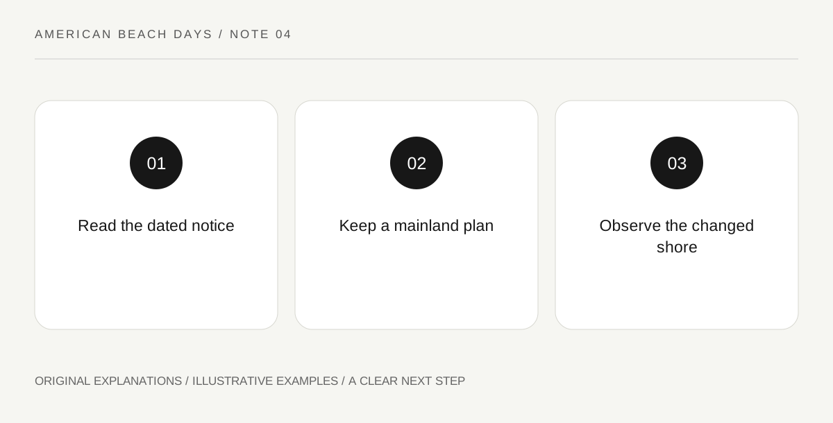
Original explanatory diagram. Read the full method and limitations below.
Read the dated notice before comparing pictures
Use the official conditions page to identify what the operator is actually reporting and when it was reported. A notice about a picnic area or a seasonal service answers a narrower question than a general beach description. Record the part that affects your intended visit. If an older family photograph shows a feature that has changed, do not use the photograph to overrule the notice. Memories can suggest a question; they cannot establish the current walking route.
Keep the mainland visit complete
Make a satisfying plan that stays within the currently permitted mainland beach area. A shoreline pause, a careful look at the landscape and time with companions can be the whole visit. Do not build the day around reaching an offshore feature exposed by the tide. Maine warns that tidal access can change; a visible stretch of sand is not a dependable all-day connection. This article provides no crossing window or instruction for reaching an island.
Choose equipment for the real transition
Before carrying a large load, look at the authorized route from parking to your selected place. Soft sand, a changed access and the amount of gear can affect the practical visit even when the distance looks short on a map. Assign carrying tasks according to the people present, not the equipment bought for a different beach. Someone should be able to return with the same load without depending on a service that might close before departure.
Treat the changed landscape as the subject
Rather than searching for the old scene, notice what can be observed from the open public route: the line of the beach, the relationship of vegetation to sand and the way the view changes along a permitted walk. A simple sketch can record these observations without taking material from the place. Leave barriers and posted habitat areas undisturbed. If access restrictions remove the intended activity, adapt the activity openly instead of treating a closure as a navigation puzzle.
An illustrative beach-day decision
In an invented family scenario, one person brings a ten-year-old photograph of a picnic stop. The group checks the dated state notice and chooses a currently available mainland outing instead of searching for the old setup. They carry a smaller lunch and make a new sketch of the shoreline. The scenario illustrates adapting expectations; it does not establish the status of any facility or a safe tide level.
Questions that come up
Can a tide table alone make an island visit appropriate?
No. It cannot replace local controls, conditions, access rules or individual judgment. This plan deliberately does not depend on crossing tidal sand, and it offers no timetable for doing so.
Is a changed picnic area a reason to cancel automatically?
It depends on the group’s actual needs. If that facility is essential, choose a different suitable plan. If it was optional, a smaller permitted mainland visit may still meet the purpose of the day.
References and scope
These sources support the factual background. Examples and exercises are original illustrative teaching material. References do not imply endorsement.
- Maine Bureau of Parks and Lands — Popham conditions — Changing shoreline, tidal island access and dated facility notices; check current notice.