Jones Beach: make the parking field part of the destination
At a large developed beach, a parking decision can become a long and unnecessary carrying decision. Jones Beach’s numbered fields connect to different parts of the park. Choose the activity and its actual access together, so that a familiar park name does not conceal the wrong arrival point.
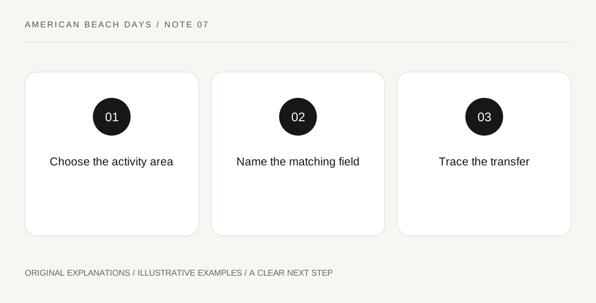
Original explanatory diagram. Read the full method and limitations below.
Translate the activity into a field
New York State Parks provides parking-field maps and distinguishes oceanfront fields from fields connected to the beachfront by tunnels. Start with the place you intend to use, then identify its permitted parking approach. Do not choose a field only because its number is familiar or because a navigation application places it near the park label. Record both the activity area and the field in the shared note. This makes a second driver’s arrival much less ambiguous.
Draw the transfer people will really make
Mark the route from the vehicle to the selected public area, including a tunnel or other connection where relevant. Then imagine the group carrying its actual equipment along it. Someone handling a cooler and someone using a mobility aid may need different information from a person traveling with one small bag. Ask about the specific route and current access arrangements. A nearby parking symbol does not describe the effort, surface or assistance needed for every visitor.
Keep the nature-center address separate
The official page places the Energy and Nature Center at West End II’s east parking lot. Treat an interpretation visit as a distinct destination rather than an assumed quick detour from any oceanfront position. If it is the main interest, organize the arrival around it. If the beach is the main interest, compare the extra transfer with the value of the visit and confirm opening first. One park can support several good days without requiring them all at once.
Agree how far the boardwalk belongs in the day
A boardwalk invites movement, but people may picture very different lengths when they hear the word stroll. Pick a meeting landmark and an intended turnaround based on the map and the group’s needs. Keep any rental, sports or swimming activity as a separate commitment with its own current conditions. When the group changes its position, update the reunion point before people leave. The useful plan describes where you will actually meet, not merely that everyone is somewhere at Jones Beach.
An illustrative beach-day decision
Imagine two households meeting for a beach-and-boardwalk day. They choose the same appropriate field and record the actual connection to their intended area. They leave the Energy and Nature Center for another visit because it would require a separate transfer. Their walk has an agreed turnaround and reunion landmark. This is a planning illustration; it does not reserve parking or establish current access at any field.
Questions that come up
Is the nearest field always the best choice?
No. Current opening, route design, available accessible spaces and individual needs can matter more than straight-line distance. Compare the whole arrival rather than one number on a map.
Can a mobility mat guarantee an independent trip onto the beach?
No. Ask about its actual location, extent and current condition, then consider the person’s device and assistance needs. A listed feature does not describe every part of the journey from vehicle to chosen place.
References and scope
These sources support the factual background. Examples and exercises are original illustrative teaching material. References do not imply endorsement.
- New York State Parks — Jones Beach — Numbered parking fields, tunnels, oceanfront fields and separate nature-center destination.